Digital Twin Technology
-
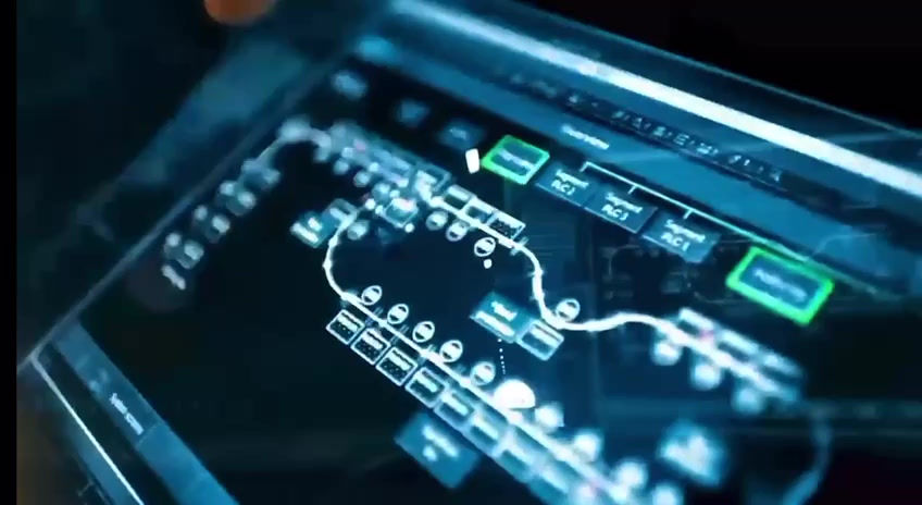
Creates virtual replicas of physical assets (e.g., oil rigs, pipelines, reservoirs).
-
Integrates real-time data, historical information, and advanced algorithms for behaviour simulation.
-
Optimizes performance and predicts outcomes.
Challenges Solved by Digital Twins
-
Aging Workforce
Digital twins preserve institutional knowledge and facilitate seamless transitions.
-
Complex Technologies
Emerging technologies like AI, IoT, and cloud computing can be overwhelming.
Digital twins simplify data integration and visualization.
-
Data Access
Digital twins consolidate relevant information for easy access and updating.
Real-time data availability supports informed decision-making.

How Digital Twins Help the Oil and Gas Industry
01
Asset Management
-
Digital twins provide a single, secure repository for all asset documentation.
-
Centralized access ensures efficient management and informed decision-making.
03
Predictive Maintenance
-
By continuously monitoring equipment health, digital twins help prevent costly failures.
-
Early detection minimizes downtime and maximizes asset lifespan.
02
Operational Efficiency
-
Real-time monitoring and analysis enhance operational efficiency, reliability, and agility.
-
Predictive insights optimize maintenance schedules and resource allocation.
04
Workforce Transition
-
With an ageing workforce, digital twins ensure knowledge transfer and continuity.
-
New operators can learn from the digital representation of assets.
3D Modeling and Mapping
Principles of 3D Modeling and Mapping
Digital Twin Technology
-
Creates virtual replicas of physical assets (e.g., oil rigs, pipelines, reservoirs).
-
Integrates real-time data, historical information, and advanced algorithms for behavior simulation.
-
Optimizes performance and predicts outcomes.
Geospatial Data Integration
-
Combines 2D and 3D datasets to create interpolated subsurface models.
-
Aids petroleum engineers and geoscientists in understanding reservoir behavior.
-
Software tools like Schlumberger Petrel, Halliburton GeoProbe, and Dassault Geovia facilitate integration.
Stereoscopic Visualization
-
Crucial for analyzing stratigraphic profiles, seismic data, and borehole information.
-
Stereo-capable displays intuitively convey spatial relationships.
01
Advantages of 3D Modeling and Mapping
Optimized Exploration and Production
-
Evaluates energy source potential.
-
Identifies issues like soil erosion and pipeline depth.
-
Reduces delays and costs through visualization.
Efficient Changes and Optimization
-
Digital twins allow efficient analysis and experimentation.
-
Operators simulate changes in a virtual environment.
Safety and Risk Assessment
-
Improves risk assessment and emergency response planning.
-
Enhances incident management and safety protocols.
02
Applications of 3D Modeling and Mapping in Oil and Gas
Optimized Exploration and Production
-
Evaluate energy source potential and identify issues like soil erosion and pipeline depth.
Efficient Changes and Optimization
-
Simulate changes in a virtual environment, reflecting production processes.
Safety and Risk Assessment:
-
Improve risk assessment and emergency response planning.


3D Laser Scanning with Leica Scanners
Principles of 3D Laser Scanning
Digital Twin Technology
-
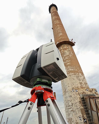
Accurate Replicas: 3D laser scanning creates precise digital replicas of physical assets.
-
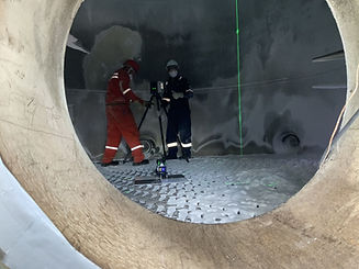
Contactless Data Capture: It captures real-world data without physical contact, resulting in detailed point clouds.
-
Leica Scanners: Commonly used models include the Leica ScanStation P40 (long-range) and RTC360 (high-speed).
Target-Based Registration
-
Precision: Scanners utilize targets for precise registration and survey-grade accuracy.
-
Reliable Data Processing: Leica Cyclone software processes point clouds, ensuring dependable results.
Real-World Accuracy
-
Sub-Millimeter Precision: Laser scanning provides measurements accurate to plus or minus three millimeters.
-
Capturing Details: Imperfections and idiosyncrasies often overlooked by traditional methods are faithfully recorded.
01
Advantages of 3D Laser Scanning
Efficiency and Precision
-
Streamlined Projects: Starting with an accurate point cloud streamlines project workflows.
-
Accounting for Imperfections: Real-world measurements consider pipe imperfections critical for tight-fitting designs.
Safety and Risk Reduction
-
Minimized Clashes: Accurate data minimizes clashes during construction, enhancing safety.
Cost Savings
-
Efficient Maintenance: Reduced downtime due to accurate data ensures efficient maintenance and upgrades.
-
Fabrication Optimization: Fabrication can begin before the project starts, saving time and costs.
02
Applications in Oil and Gas
Asset Management
-
Digital Twins: Manage oil rigs, pipelines, and refineries using accurate as-built data.
-
Maintenance Insights: Inform maintenance schedules and safety protocols.
Facility Design and Retrofit
-
Design Support: 3D scanning aids design and retrofit projects.
-
Optimal Fit: Precise measurements ensure optimal fit and performance.
Exploration and Reservoir Modeling
-
Subsurface Insights: Scanning helps understand reservoir behavior.
-
Hydrocarbon Zones: Leica scanners assist in identifying untapped hydrocarbon zones.
Remote Training and Collaboration
-
Virtual Learning: Leverage 3D scans for remote training and collaboration.
